The Symaptic Web and Mobile Package uses GeoServer as its map server. Records exported from Smallworld are stored in Postgres, which are in turn used by GeoServer to render maps. Amongst other things, GeoServer manages how the data is displayed (the style of your map) and can also provide a feature service whereby clicking on objects in the map allows details of those map objects to be fetched from Postgres.
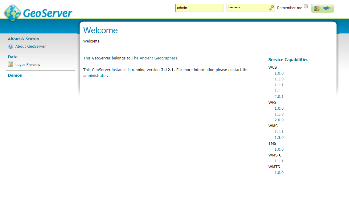
To take a closer look at GeoServer, you can log directly into GeoServer service via your web brower.
Steps to accessing the GeoServer service:
- Assuming you keep the default settings of Geodrive, GeoServer can be accessed at the following address: http://localhost:9103/geoserver/
If you installed GeoServer on another server, you will need to use the other server’s name rather than localhost.
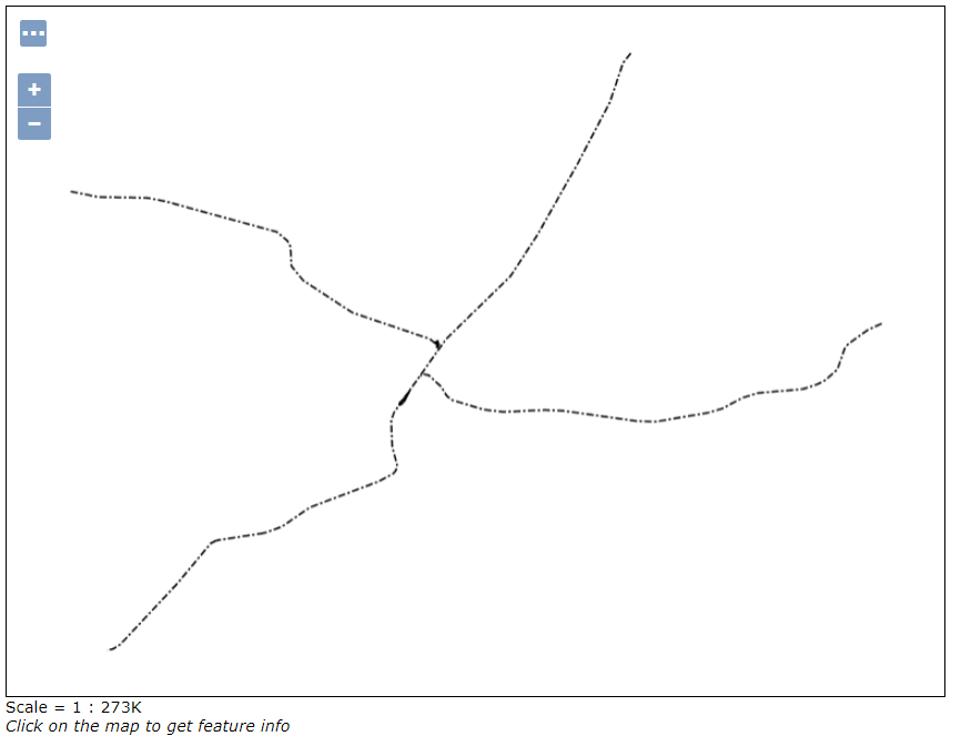
The username is admin and the password is geoserver. - After logging in you will see many details about the data that the Symaptic Web and Mobile Package has configured in GeoServer. Have a look around. You can, for example, view the individual layers using the Layer Preview option and selecting one of the layers:
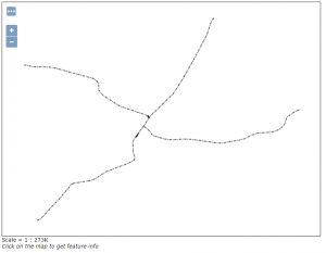
NOTE: As the Symaptic Web and Mobile Package also configures the layer display scales, a layer may appear blank in the preview until you zoom in to the level where the layer will then turn on. - One of the most important things for the Symaptic Web and Mobile Package that you can configure in GeoServer is the style of each layer. For more details on this, see Configuring Styles.