
Now that Symaptic Shadow has created a nice Postgres database of your Smallworld data, and the Symaptic scripts have converted your Smallworld styles into SLDs, it is very easy to view this data is a desktop GIS client.
QGIS is a free and open source cross-platform desktop geographic information system application that supports viewing, editing, and analysis of geospatial data.
To view your data in QGIS:
- Go to the QGIS website and download and install QGIS
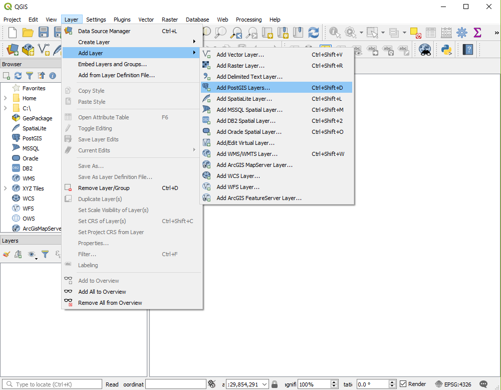
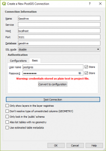
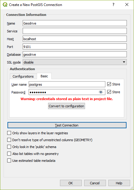
- Now import open your Postgres tables in QGIS (the default password for the database is postgres )
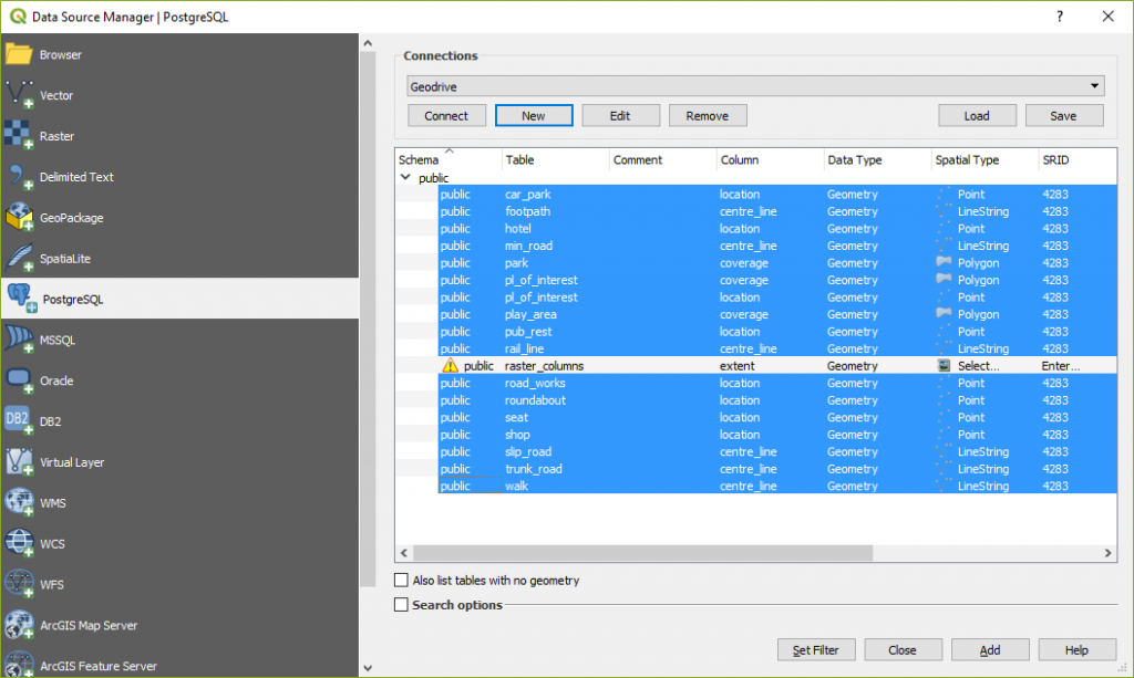
- Select the layers that you want to include, click the Add button and then the Close button.
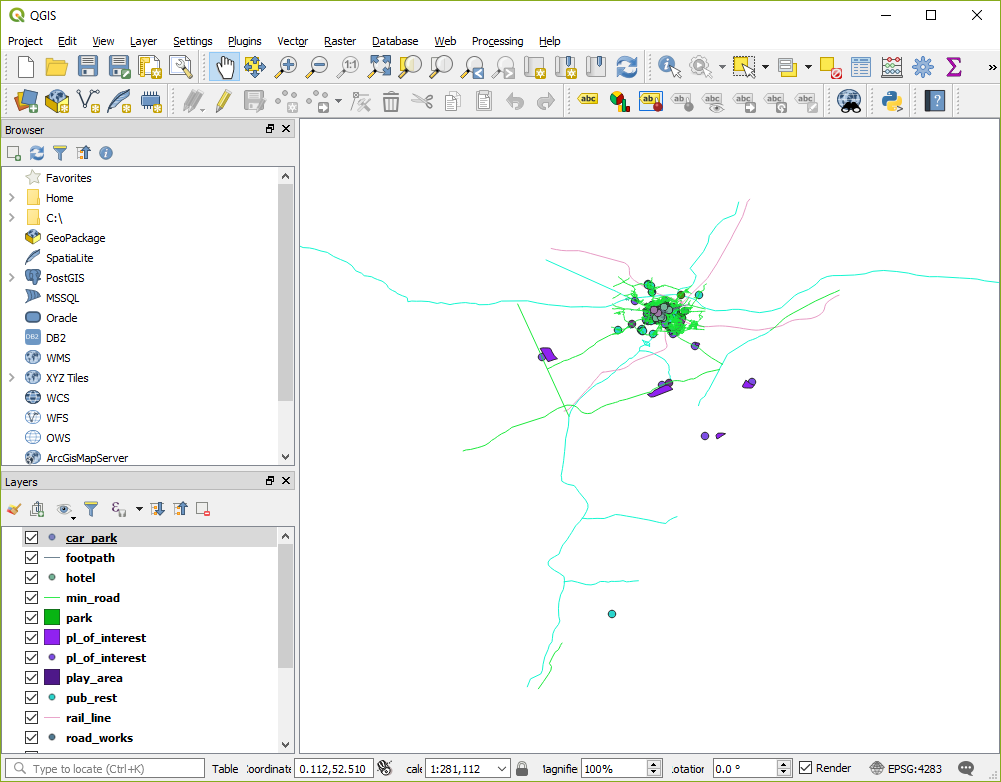
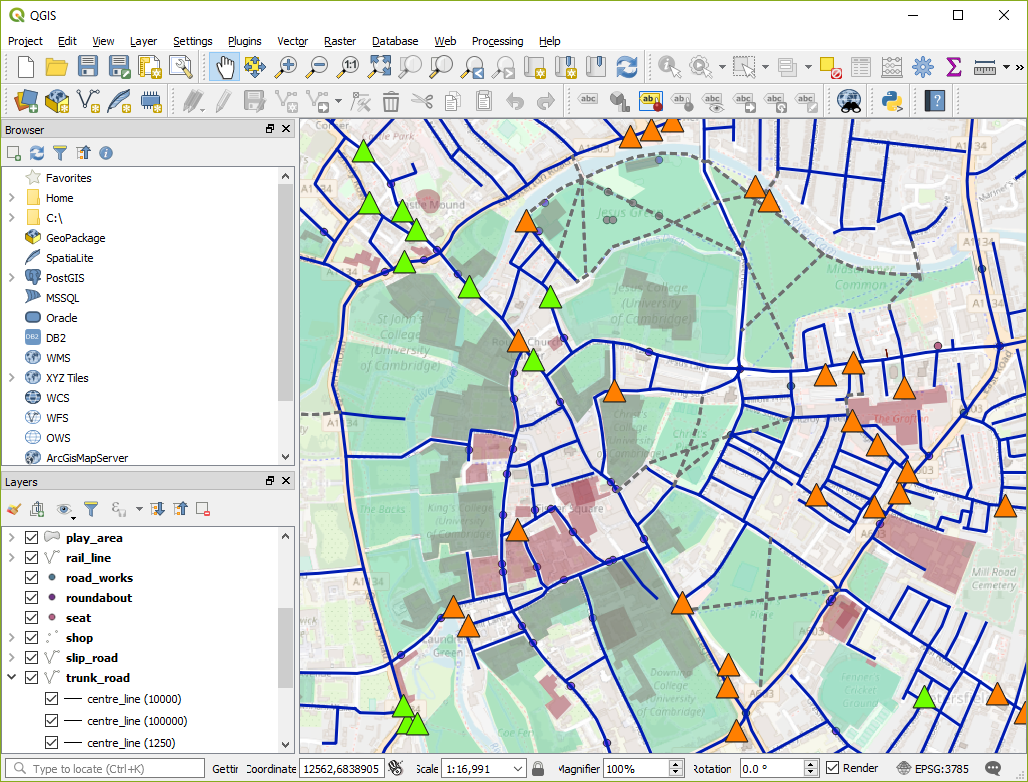
- You should now be able to see all your data, although in the default QGIS styles:
- To add your ‘Smallworld’ styles, select each layer from the layers dialog and add the SLD style for that layer:
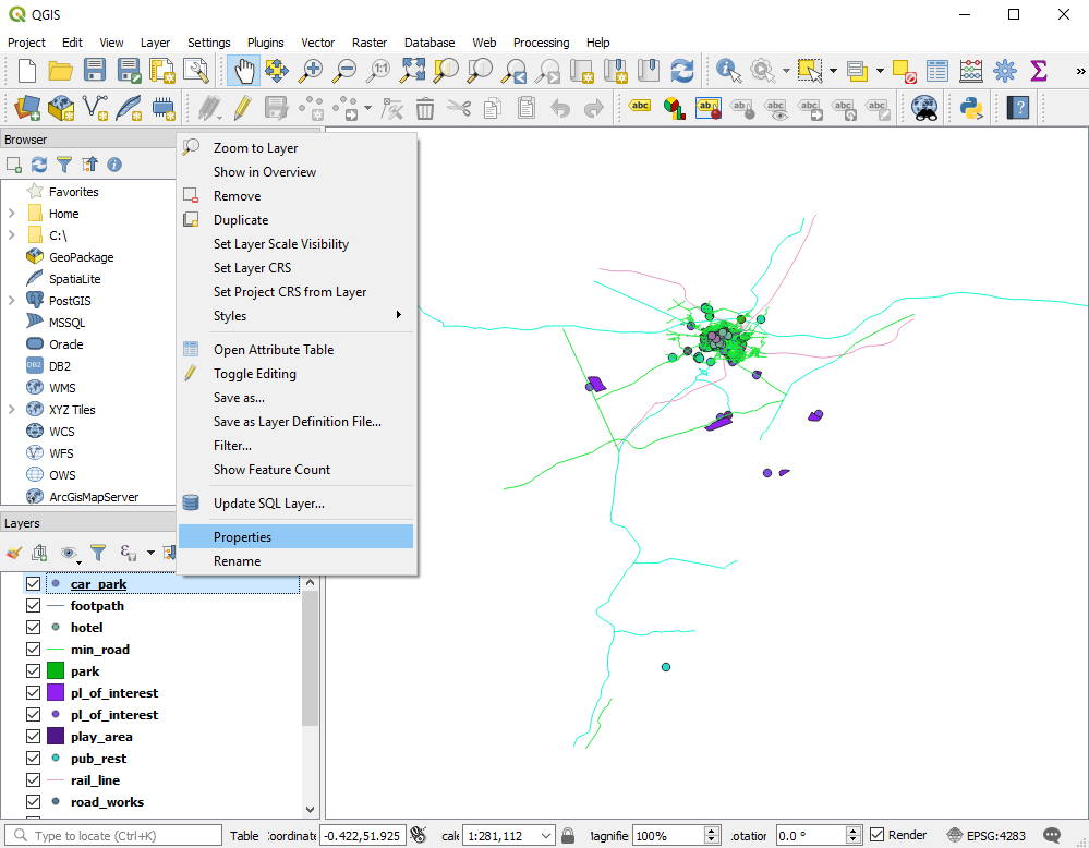
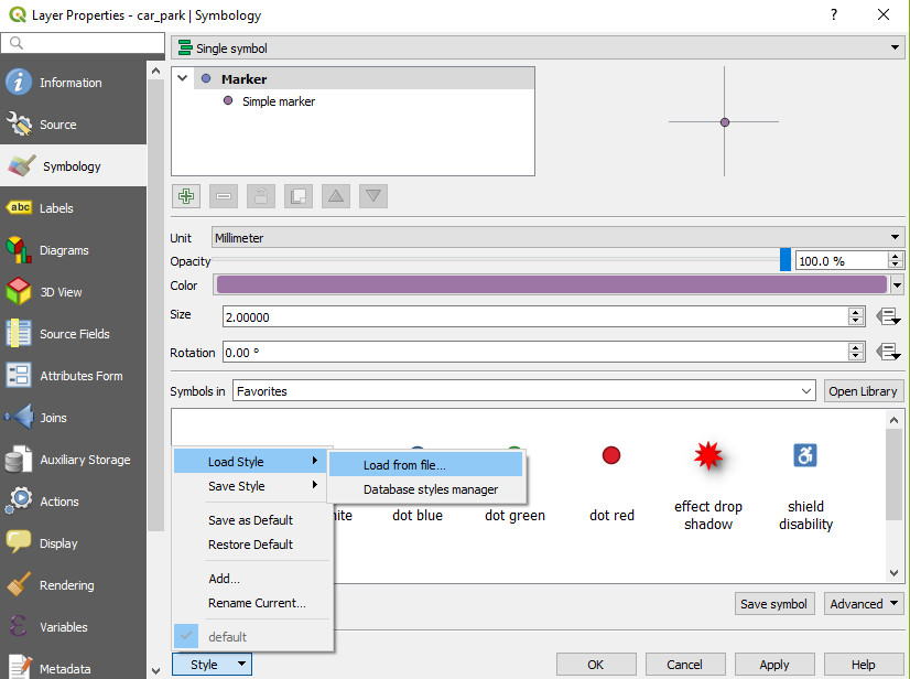
*Don’t forget to select the file type as SLD so that you can see all your SLD files stored in the symaptic\geoserver\data_dir\www\styles directory
NOTE: You will find that the symbols in the SLDs are ignored. This is because QGIS can only read SVG images for symbols and not PNG. At present Symaptic is considering creating SVG generation of the Smallworld symbols to overcome this issue. In the meantime, the vast styling capabilities of QGIS and selection of existing similar/alternate icons can be used to compensate. - Save your QGIS project so that the next time you open QGIS, your table and style settings can be immediately restored.

QGIS can be used to spatially analyse your data, create reports and can import data from a large variety of sources. And with Symaptic Shadow keeping your Smallworld data up-to-date in QGIS, you have access to all your latest information.